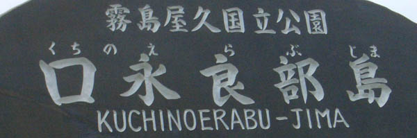
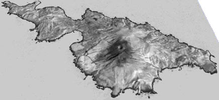
Volcanic Island Kuchinoerabu-jima
- Near-Infrared and Visible Views -
|
Edited by K. Kinoshita based on the RCPI expedition on 11-14 May 2009
|
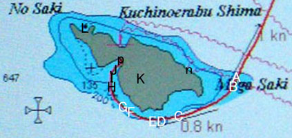
SiPSE 3D NIR image from southern sky : The points of the following photographs on the route |
NIR images by digital camera Sony DSC-V3 nightshot mode with IR4, Visible color images by digital camera Casio EX-Z40
Filename: A-J on 11, K-L on 12 May 2009, with hhmm for hh= hour, mm= minute
|
|
|
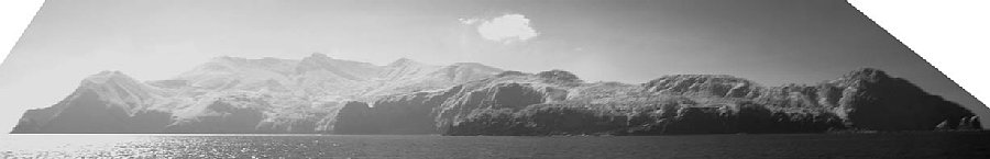
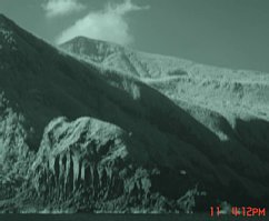
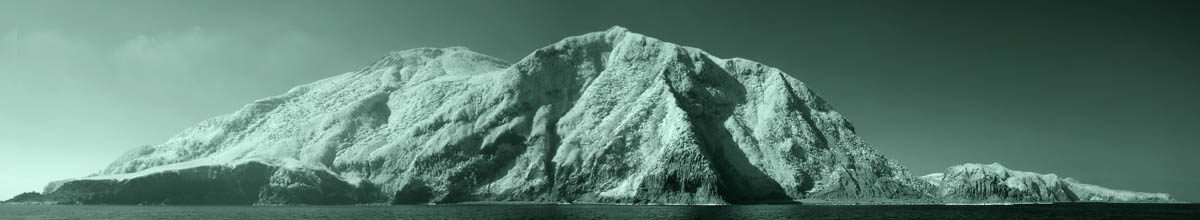
| East side of the island by NIR A_1601np Right: Shirogahana 城ヶ鼻 |
|
|
|
|
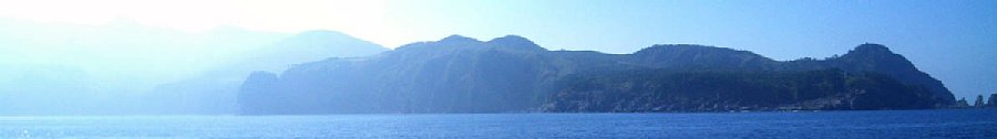
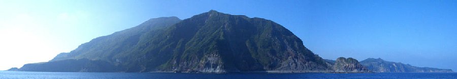
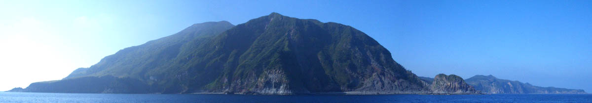
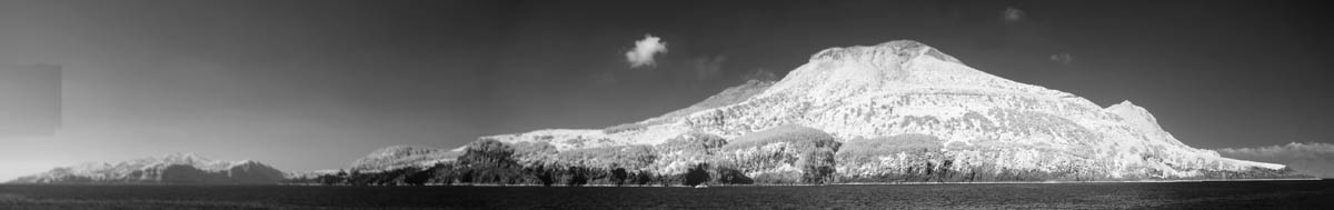
| Far-away mountains are hard to see in visible image. B_1603dp |
|
|
|
|
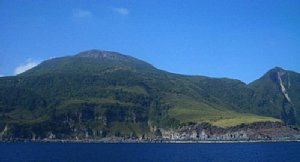
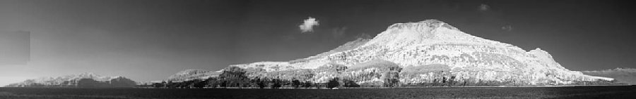
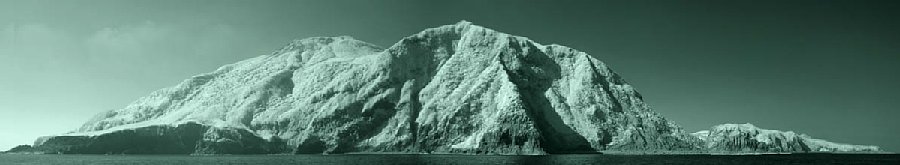
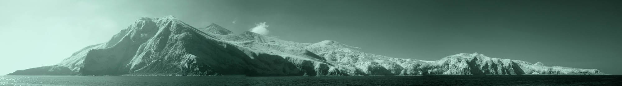
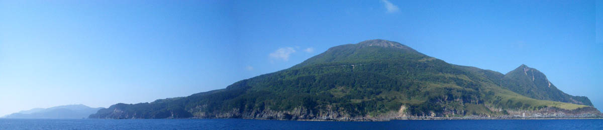
| Southern cape and southeast side C_1611np From L to R: 平床鼻, 鉢窪火山, 古岳, 新岳 |
|
|
|
|
| Seaside cliff of Hachikubo Volcano c_1612n |
|
|
|
|
|
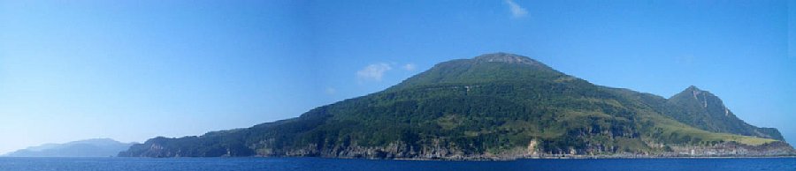
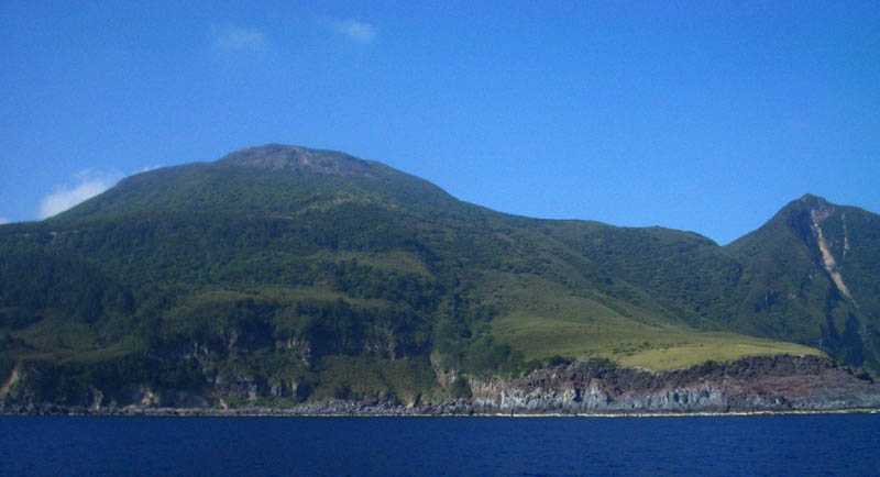
Turning southern cape D_1614p |
|
|
|
|
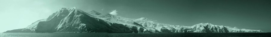
| Hiratoko-hana cape, Furudake (far) & Hachikubo (near) (Shindake behind) E_1615np 平床鼻, 古岳(新岳 not seen), 鉢窪 |
|
|
|
|
| Banyagamine in NW part seen quite far. F_1620p near-by coast Nishimazaki of Shindake-lava |
|
 |
|
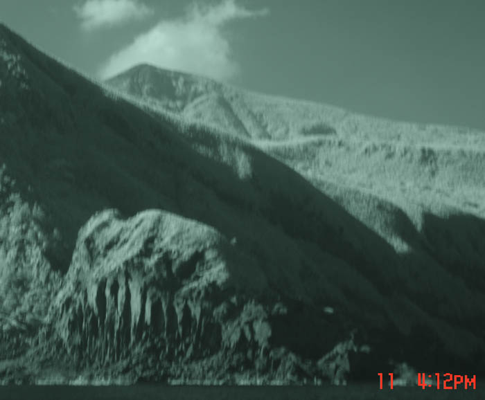
| Close-up -> f_1619 | |
 |
|
| NIR view: 左の遠くは島の北西部 番屋ヶ峰、近くの海岸は新岳溶岩のニシマザキ G_1622np |